")
")
")


MAXIMUM EFFICIENCY
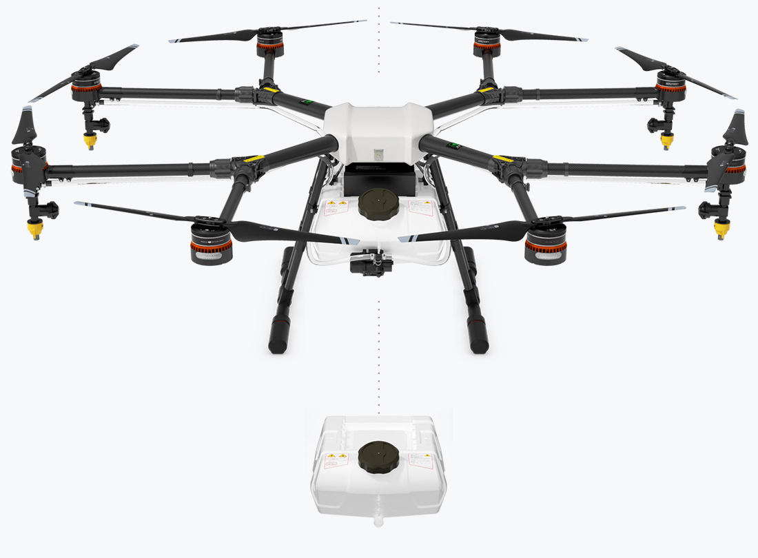
The powerful propulsion system enables the MG-1 to carry up to 10kg of liquid payloads, including pesticide and fertilizer. The combination of speed and power means that an area of 4,000-6,000 m² can be covered in just 10 minutes, or 40 to 60 times faster than manual spraying operations. The intelligent spraying system automatically adjusts its spray according to the flying speed so that an even spray is always applied. This way, the amount of pesticide or fertilizer is precisely regulated to avoid pollution and economize operations.

7-10Acres / Hour
10kgPayload
40-60 times faster than manual spraying
Liquid Tank
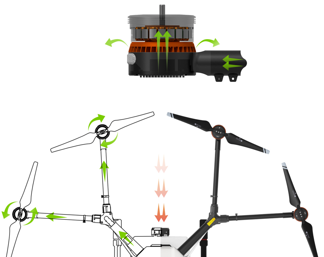
RELIABILITY AND LONGEVITY
Equipment used in plant protection operations is susceptible to dust and corrosion, leading to high cost of maintenance and shortened lifespans. To counteract degradation, the MG-1 is designed with a sealed body and an efficient, integrated centrifugal cooling system. As it flies, the surrounding air enters the aircraft body via the front inlet, equipped with a triple filter system that keeps dust and particulate matter from entering. The air then passes through each of the aircraft’s arms to the motors, capturing heat from all components and the entire structure before exiting and dissipating the heat to the surrounding air. The combination of cooling and filtering increases the expected lifespan of each motor by up to three times.
ACCURATE SPRAYING
Spray nozzles can be chosen according to the properties of each liquid to optimize atomization, energy efficiency and the amount of liquid sprayed. The included ceramic nozzle is resistant to wear and can be used for thousands of hours of effective spraying without degradation. In total, the MG-1 has four nozzles, each placed directly below a motor. The downward airflow generated by the propellers accelerates the spray, increasing its reach.

Interchangeable Nozzle

Atomized Spraying

All round Spraying
EASE OF USE
The advanced flight controller integrated with the aircraft instantly and precisely responds to the pilot’s input. Choose between three flight modes: Smart mode, Assisted mode and Manual mode, according to terrain and the specific needs of each mission.
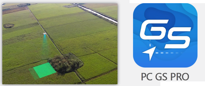
Under Smart mode, the flight can be easily planned with the press of a few buttons, without the need for mapping knowledge or other software, making the MG-1 not only the most efficient but also the most easy to use spraying solution. In Assisted mode, the aircraft performs the same turns at the press of a button as it does automatically under the Smart mode, allowing for planning to be done on the fly for fields of irregular shape. Under Manual mode, the pilot freely navigates the aircraft.
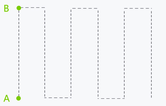
INTELLIGENT MEMORY
The MG-1 automatically records its current and remembers its past coordinates as it makes its way across the field. In case the operation is interrupted, for example due to depleted battery or spraying liquid, flight easily be resumed from the last point in its memory after changing the battery or refilling its tank.

Low Volume Warning

Flight Task Resume

System Data Memory
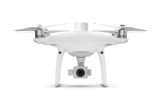
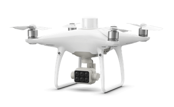
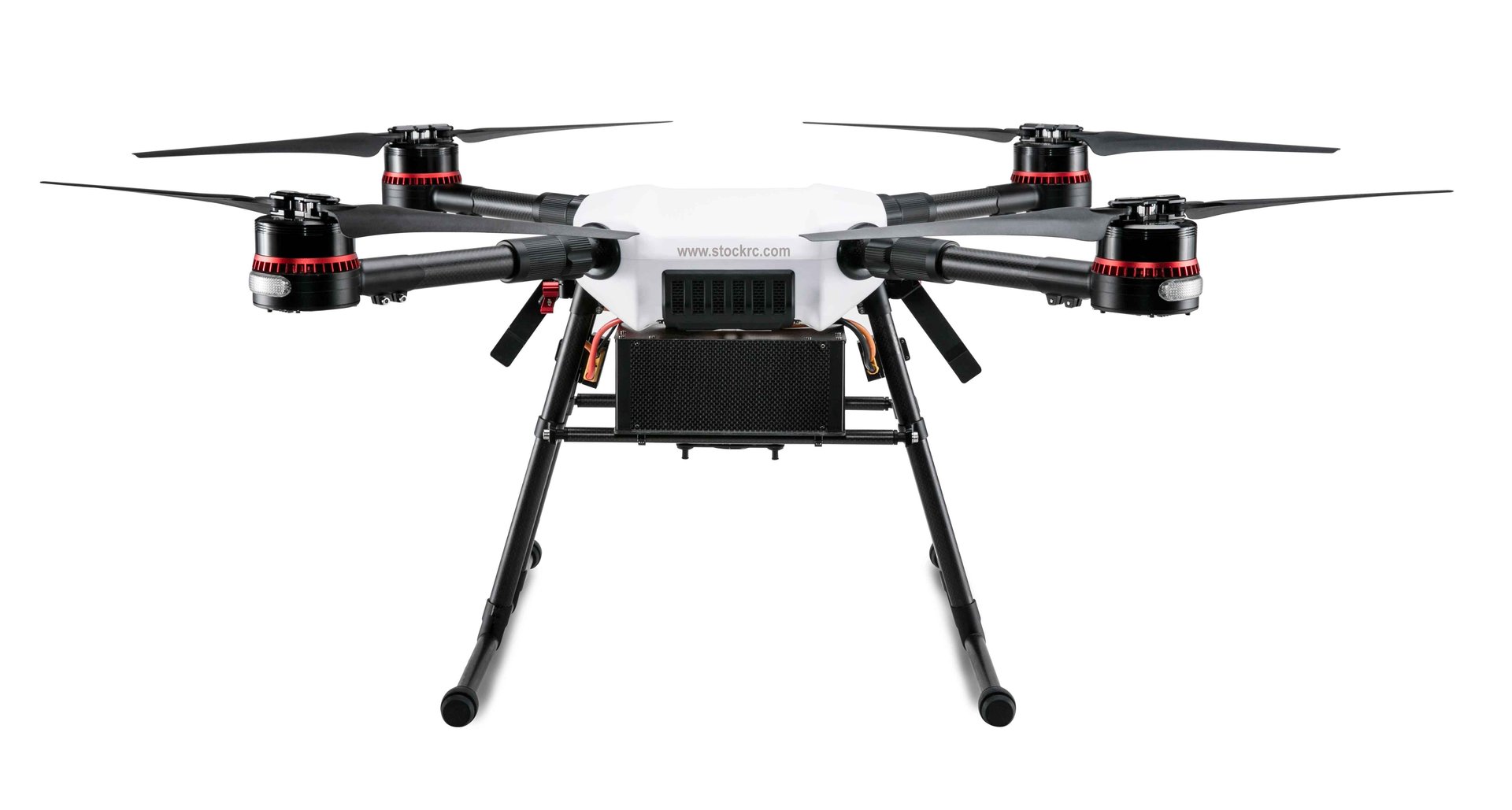
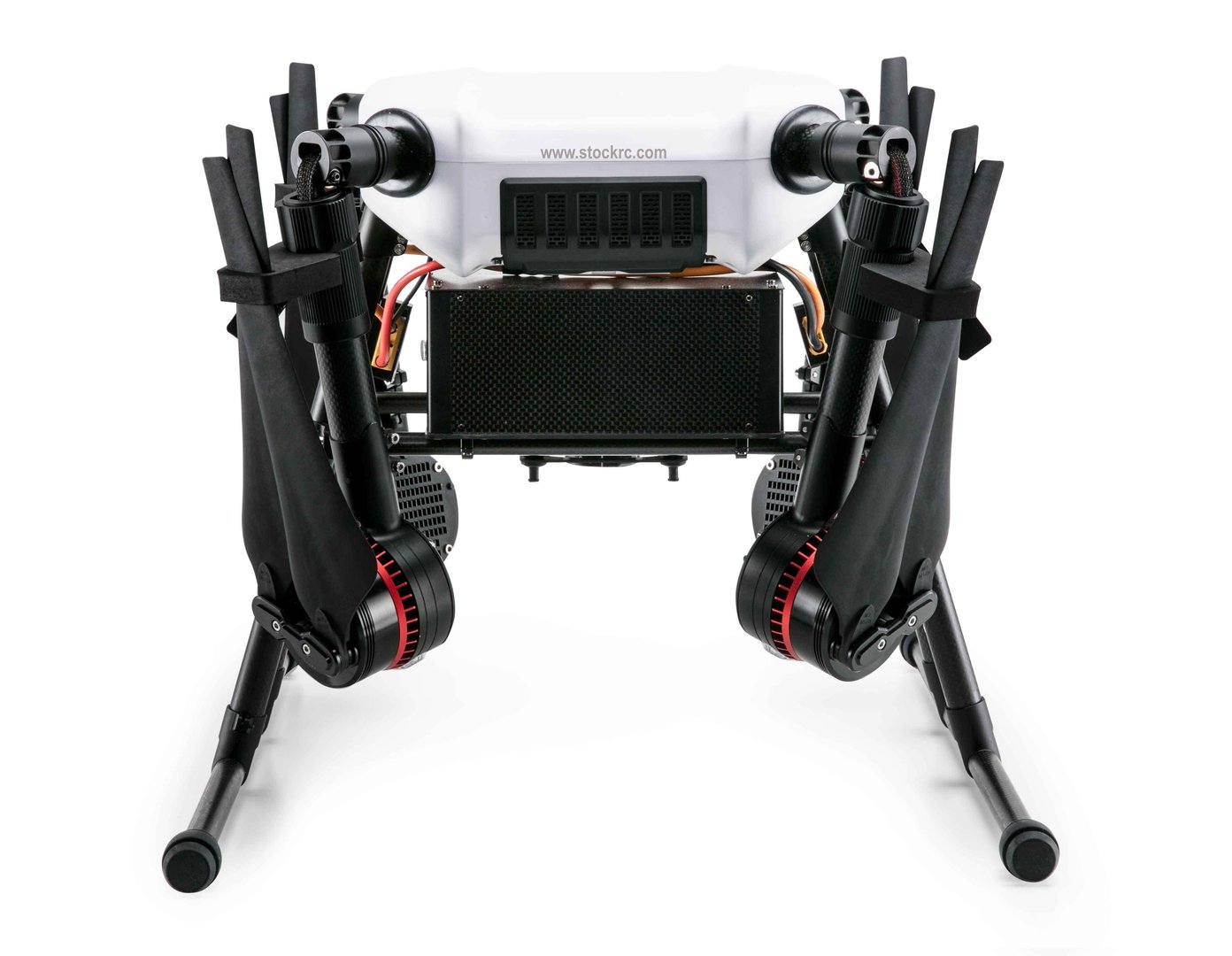
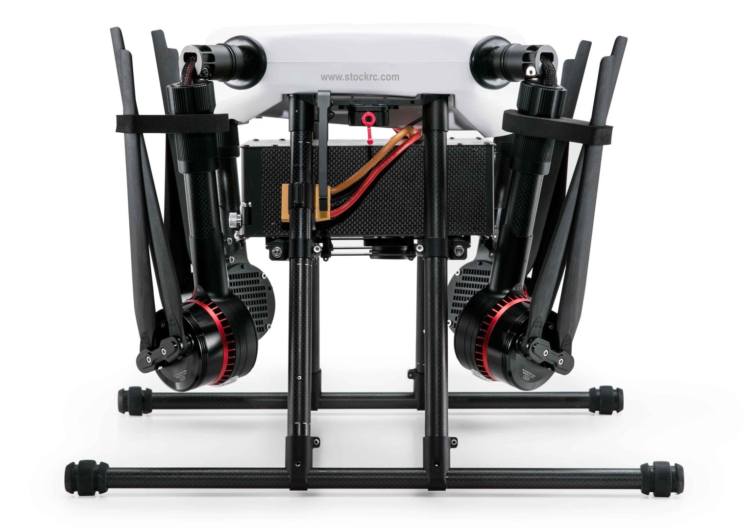
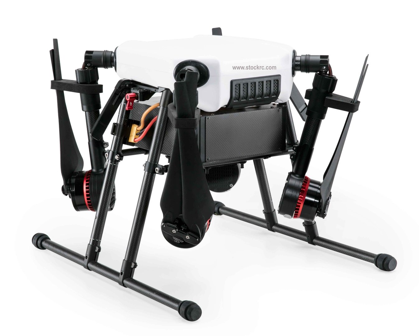
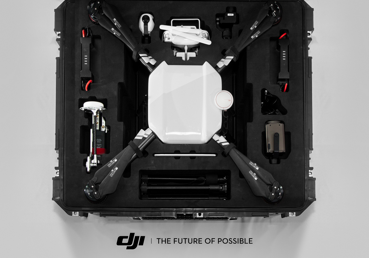
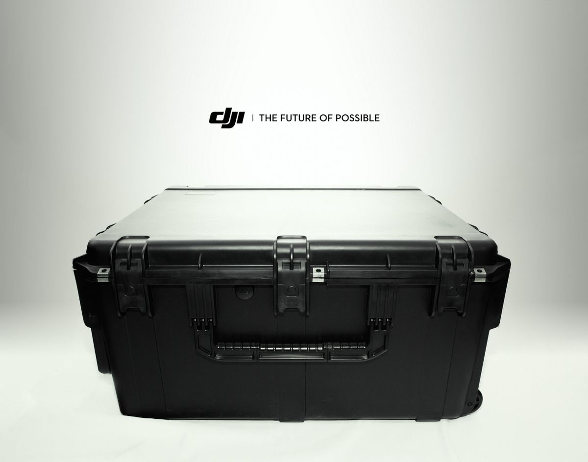
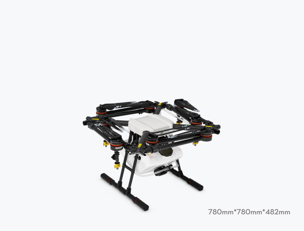
FOLDABLE DESIGN
The MG-1 design is based on a Y-type folding structure that can be installed without the use of any additional tools. Motor arms fold inwards making the aircraft compact and easy to transport, for example in the trunk of a car. Made from high-strength carbon fiber materials, the body frame is light yet durable and able to withstand the harshest conditions.
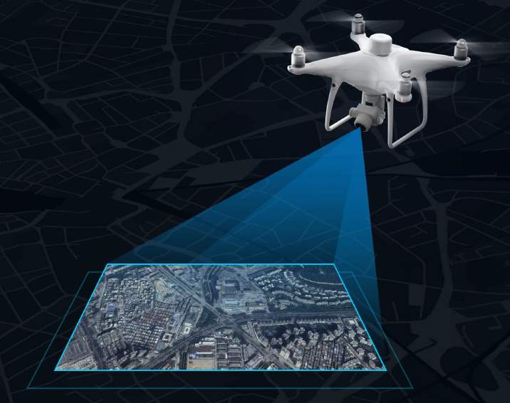
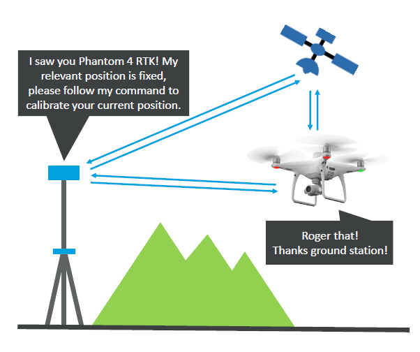
TERRAIN FOLLOW
By integrating a microwave radar together with the MG-1's intelligent flight control system, the aircraft is able to scan the below terrain in real-time, and adjust to keep a constant, centimeter accurate, height above crops. Spray density is maintained even as the terrain rises and drops, so that the optimal amount of liquid is applied at all times.
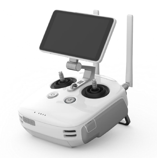
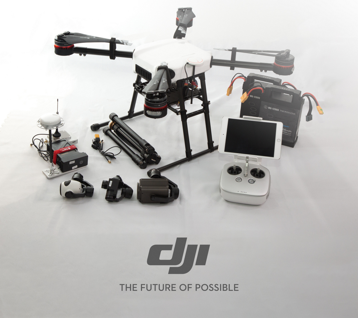
DEDICATED REMOTE CONTROLLER
The dedicated remote controller is equipped with the latest Lightbridge 2 transmission system which enables ultra low-latency controls. Like the aircraft body, the remote is designed with water and dust protection. A special low-energy display panel gives real-time flight information and is able to last over extended periods of time on a single charge. Together with the highly responsive joysticks and convenient function keys, mastering the art of agricultural spraying is made easier than ever before.
Dust-Proof, Anti-Splash
Dedicated Display Panel
Extended Working Time
Low Volume Warning
Battery Level
Spraying Speed
Flying Height
Flying Speed
AGRAS MG-1
| Diagonal Wheelbase | 1520 mm |
|---|---|
| Frame Arm Length | 625 mm |
| Dimensions |
|
Propulsion System
Motor
| Stator Size | 60mm x 10 mm |
|---|---|
| KV | 130 rpm/V |
| Max Thrust | 5.1 kg/rotor |
| Max Power | 770 W |
| Weight (with cooling fan) | 280 g |
Foldable Propeller
| Material | High-performance engineered plastics |
|---|---|
| Diameter / Pitch | 21x7.0 inch (533x178 mm) |
| Weight | 58 g |
ESC
| Max Allowable Current (Continuous) | 25 A |
|---|---|
| Operating Voltage | 12S LiPo |
| Signal Frequency | 30 to 450 Hz |
| Drive PWM Frequency | 12 kHz |
Spray System
Liquid Tank
| Volume | 10 L |
|---|---|
| Standard Operating Payload | 10 kg |
| Max Battery Size | 151mm x 195mm x 70mm |
Nozzle
| Model | TXVK-04,XR11001 |
|---|---|
| Quantity | 4 |
| Max Spray Speed | 0.5 L/min (per nozzle, for water) |
| Spray Width | 4 - 6 m (4 nozzles, 1.5 – 3 m above the crops) |
| Droplet Size* |
*Droplet size may vary according to operation environment and spraying speed. |
Flight Parameters
Features
| Total Weight (without batteries) | 8.8 kg |
|---|---|
| Standard Takeoff Weight | 22.5 kg |
| Max Takeoff Weight | 24 kg (@ sea level) |
| Max Thrust-Weight Ratio | 1.81 (with 22.5 kg takeoff weight) |
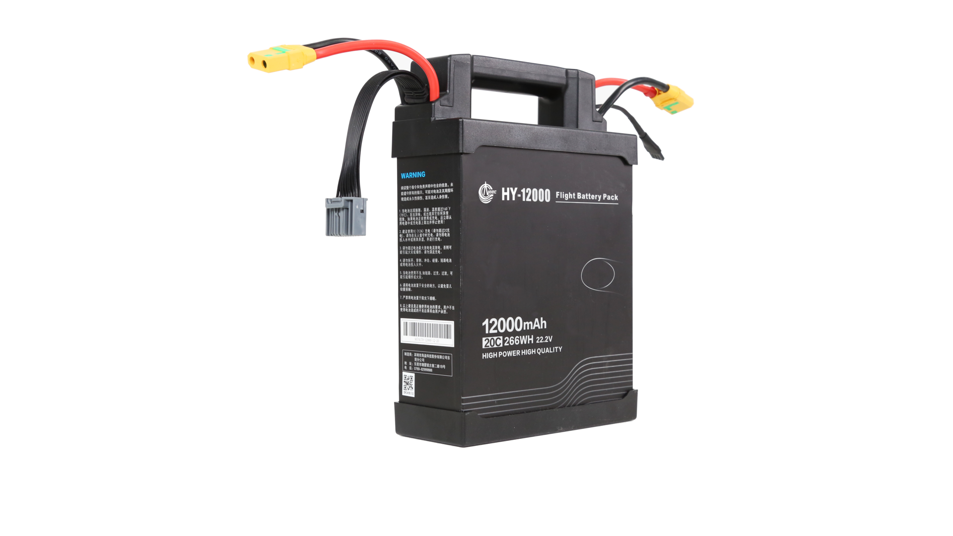
| Power Battery | 2 x 6S LiPo (batteries of 12000 mAh, continuous discharging rate of 10C and charging rate of 1C to 2C recommended) |
| Max Power Consumption | 6400 W |
| Hovering Power Consumption | 3250 W (with 22.5 kg takeoff weight) |
| Hovering Time |
|
| Max Operating Speed | 8 m/s |
| Max Flying Speed | 22 m/s |
| Recommended Operating Temperature | 0 to 40℃ |
Remote Controller
Features
| Model | GL690B(Japan Only), GL658C |
|---|---|
| Operating Frequency | 2.400 - 2.483 GHz |
| Max Transmission Range (unobstructed, free of interference) |
|
| EIRP | 100 mW @ 2.4 GHz |
| Built-in Battery | 6000 mAh, 2S LiPo |
| Charging | DJI charger |
| Output Power | 9 W |
| Operating Temperature Range | -10 to 40℃ |
| Storage Temperature Range |
|
| Charge Temperature Range | 0 to 40℃ |
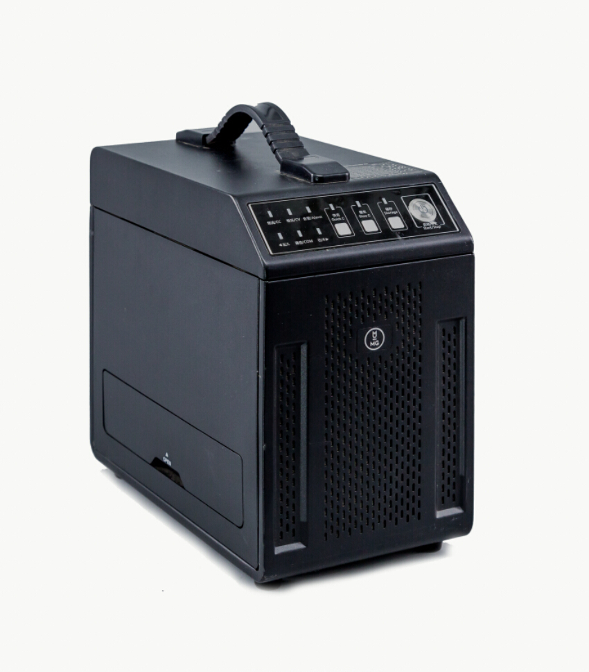
Remote Controller Charger
Features
| Model | A14-057N1A |
|---|---|
| Voltage | 17.4 V |
| Rated Power | 57 W |