")
")
")
DJI Store Madrid & Support Center Stockrc

9:00-14:00 and 16:30-19:30
Phone: 0034 91 851 20 96


Now: American Express
![]()
Redsys (Visa/MasterCard/4B/ServiRed)

Paypal
![]()
web optimized for Mobile


Tracking


FacebooK

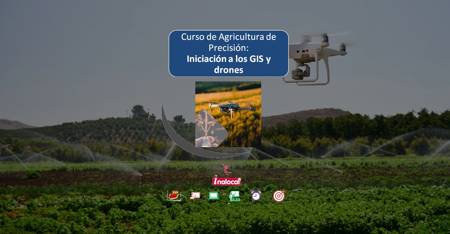
DJI Madrid & OFFICIAL Support Center DJI Agras Precision Agriculture Course: Introduction to GIS and Drones
New
Available delivery methods: DSV TNT UPS OTHER EUROPE, BALEARES, ISLAS,CEUTA Y MELILLA, Store Pickup, Free, shipping over 100 euros, Tourline 19H Just Spain & Portugal, DSV TNT UPS EUROPE, Attach to other orders
Browse these categories as well:
DJI Agras, P4 Multispectral
Precision Agriculture Course: Introduction to GIS and Drones
In stock

390.72 €
The price includes VAT
Available delivery methods: DSV TNT UPS OTHER EUROPE, BALEARES, ISLAS,CEUTA Y MELILLA, Store Pickup, Free, shipping over 100 euros, Tourline 19H Just Spain & Portugal, DSV TNT UPS EUROPE, Attach to other orders