")
")
")
DJI Store Madrid & Support Center Stockrc

9:00-14:00 and 16:30-19:30
Phone: 0034 91 851 20 96


Now: American Express
![]()
Redsys (Visa/MasterCard/4B/ServiRed)

Paypal
![]()
web optimized for Mobile


Tracking


FacebooK

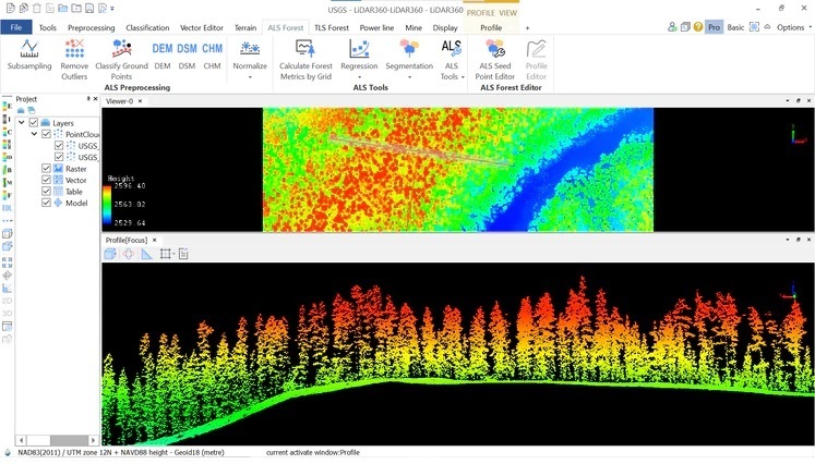
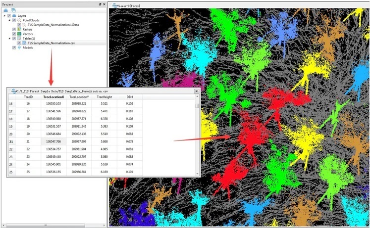
DJI Madrid & OFFICIAL Support Center UgCS__Sistemas_integrados LiDAR360 Forestry module
LiDAR360 Forestry module
Still in stock
can be shipped within 5 days
2,408.00 €
The price includes VAT
Delivery weight: 100 g